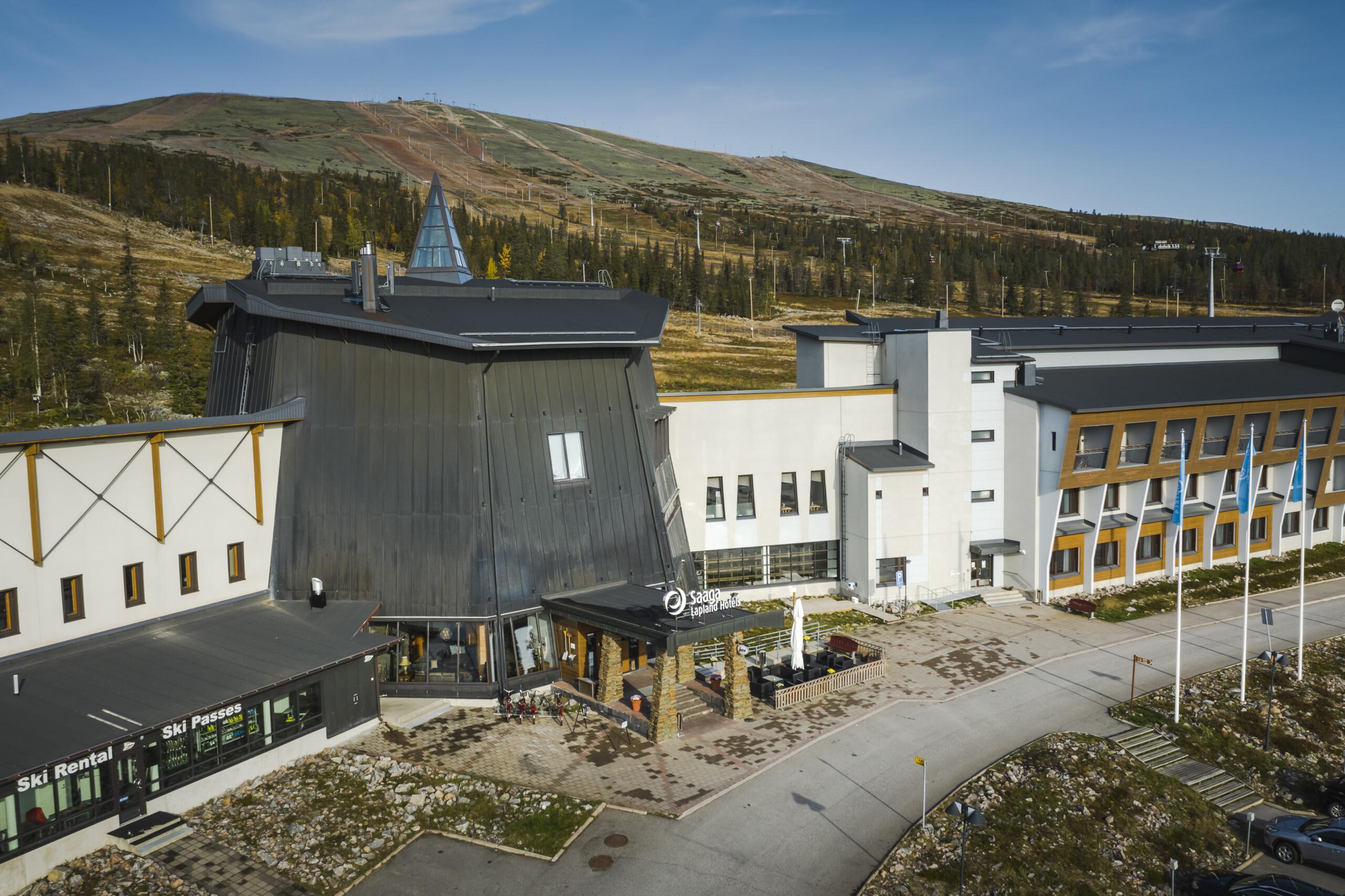
Majoitus
Haluatko viettää lomasi Lapin luonnon ympäröimänä omassa mökissä vai heräätkö mieluummin hotellista keskellä kylää, lähellä palveluita? Laaja majoitusvalikoima Ylläksellä takaa loistavat vaihtoehdot yöpymiseen.
Tarjolla on eritasoisia mökkejä, hostelleja ja hotelleja sekä erikoismajoituksia täysin omassa rauhassa luonnon keskellä. Yli 20 000 vuodepaikan valikoimasta löytyy jokaiseen makuun varmasti sopiva majoitus. Tutustu vaihtoehtoihin ja varaa hyvissä ajoin!
Aktiviteetit
Yötön yö
Kesäkuu – Heinäkuu
Lapin kesän tunnusomaisin ilmiö on keskiyön aurinko. Yöttömän yön aikana pikkutunteja ei kannata tuhlata nukkumiseen vaan luonnossa liikkumiseen.
Kesäyöt ovat mukavan viileitä ja luonnossa näkee paljon elämää. Tunturin huippu on lyömätön paikka keskiyön auringon ja loputtoman maiseman ihailuun.

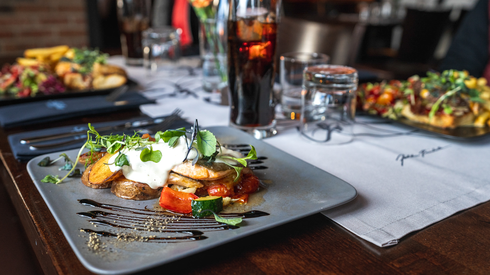
Ravintolat
Ylläksen monipuolinen ravintolatarjonta sisältää niin kotoisaa pubiruokaa kuin tasokasta fine dineäkin. Voit nauttia ateriasta Yllästunturin huipulla, kaikessa rauhassa metsän siimeksessä, rauhoittavan järven äärellä tai helposti keskellä kylää.
Tarjolla on paikallisilla aineksilla höystettyä pizzaa, maukkaita burgereita, perinteistä lappilaista poronkäristystä ja viiden ruokalajin loppuun saakka viimeisteltyjä kattauksia. Monet ylläksen ravintoloista hyödyntävät lähellä kerättyjä puhtaita raaka-aineita ja lihaa suoraan luonnosta.
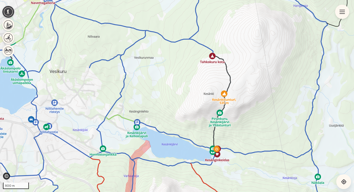
Kartta ja reitit
Vietä sujuva loma Ylläksellä kartan avulla, josta löydät suositellut reitit, hiihtoladut ja matkailukohteet. Kartalta löydät myös palveluiden aukioloajat ja voit helposti suunnitella reitin sen pituuden ja muiden tarpeiden mukaan.
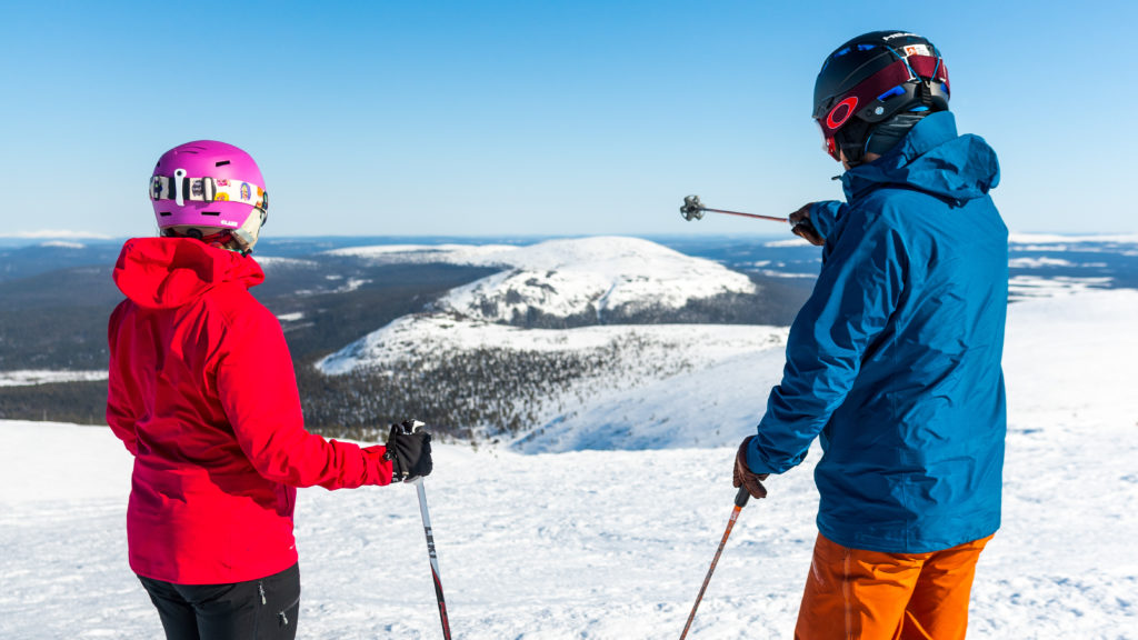
Ylläs on Suomen suurin!
Ylläs on maamme mittavin hiihtokeskus, jossa lasketellaan kahden aidon lappilaiskylän alueella.
Tägää @visityllas

save for later! 😍 🚲
#mountainbiking #maastopyöräily #visityllas #yllas #bikingwithkids

Swinging to the midnight sun like ☀️
@christeradahl
#midnightsun #yllas #visityllas #laplandsummer #yllasswing
Or did we forget something? 🌿
Save it for your summer trip and make your holiday fell rich!
📸:
1 & 4 @christeradahl
2, 3 & 7 @kotacollective
5, 6 & 9 @eskoliukas
8 @annikavarpe
#fellrich #tunturikkain #yllas #laplandsummer #visityllas
Have you experienced the magic of the midnight sun? ☀️
📸:
2 & 3 @eskoliukas
4 & 5 @christeradahl
#nightlessnight #midnightsun #yllas #visityllas #laplandsummer
It’s not needed. 🥹
#yllas #may #peace #tunturikkain #lapland